SHALLOW CALCAREOUS LOAM 8-10 P.Z.


Scenario model
Current ecosystem state
Select a state
Management practices/drivers
Select a transition or restoration pathway
- Transition T1A More details
- Transition T2A More details
- Transition T2B More details
- Restoration pathway R3A More details
- Transition T3A More details
-
No transition or restoration pathway between the selected states has been described
Target ecosystem state
Select a state
Description
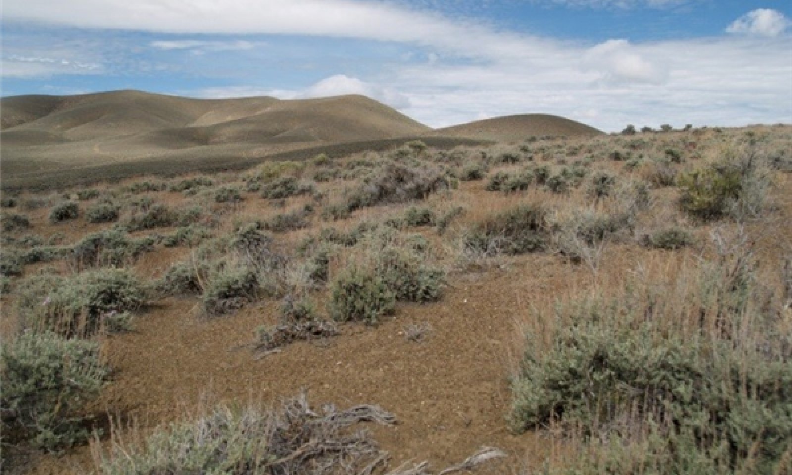
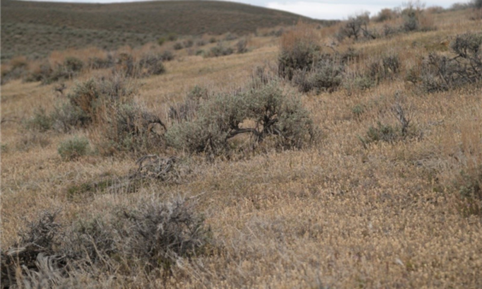
The Reference State is a representative of the natural range of variability under pristine conditions. The Reference State has three general community phases; a shrub-grass dominant phase, a shrub dominant phase and a grass dominate phase. State dynamics are maintained by interactions between climatic patterns and disturbance regimes. Negative feedbacks enhance ecosystem resilience and contribute to the stability of the state. These include the presence of all structural and functional groups, low fine fuel loads, and retention of organic matter and nutrients. Plant community phase changes are primarily driven by fire, periodic drought and/or insect or disease attack. Due to the nature and extent of disturbance in this site, all three plant community phases would likely occur in a mosaic across the landscape.
This is a stable plant community that is highly drought tolerant and does not experience frequent fire (100 to 200 year intervals). Prolonged drought may reduce perennial bunchgrasses.
Submodel
Description
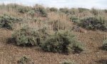
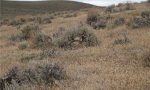
This state is similar to the Reference State (1). Ecological function has not changed, however the resiliency of the state has been reduced by the presence of invasive weeds.
Submodel
State 3
State 3

Description
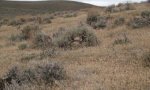
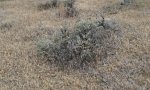
A biotic threshold has been crossed. Shrub species are dominant and bunchgrasses are in trace amounts or non-existent. Nutrient cycling, energy capture and surface hydrology have been altered due to the lack of bunchgrasses. Annual weedy species and/or Sandberg’s bluegrass dominate the understory.
Submodel
State 4
State 4
Description
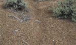
Site is dominated by cheatgrass, mustards and other invasive weeds. Black sagebrush is in trace amounts if present. Ecological processes of energy and nutrient cycling have been truncated by the lack of deep rooted, perennial plants. Soil redistribution may be occurring. Increased ponding and decreased infiltration of water may occur as soil redistribution changes surface properties. Increased fire frequency, due to annual weed dominance, maintains this state.
Submodel
Mechanism
This transition is caused by the introduction of non-native annual weeds.
Mechanism
Abusive grazing by domestic livestock, likely cattle or horses, and/or long-term drought.
Mechanism
Native perennial bunchgrasses are essentially absent and unable to compete with annual species. Shrub recruitment is limited or non-existent, therefore annual weed control and seeding of both shrub and grass species will be required. Likelihood of success is very low.
Model keys
Briefcase
Add ecological sites and Major Land Resource Areas to your briefcase by clicking on the briefcase (![]() ) icon wherever it occurs. Drag and drop items to reorder. Cookies are used to store briefcase items between browsing sessions. Because of this, the number of items that can be added to your briefcase is limited, and briefcase items added on one device and browser cannot be accessed from another device or browser. Users who do not wish to place cookies on their devices should not use the briefcase tool. Briefcase cookies serve no other purpose than described here and are deleted whenever browsing history is cleared.
) icon wherever it occurs. Drag and drop items to reorder. Cookies are used to store briefcase items between browsing sessions. Because of this, the number of items that can be added to your briefcase is limited, and briefcase items added on one device and browser cannot be accessed from another device or browser. Users who do not wish to place cookies on their devices should not use the briefcase tool. Briefcase cookies serve no other purpose than described here and are deleted whenever browsing history is cleared.
Ecological sites
Major Land Resource Areas
The Ecosystem Dynamics Interpretive Tool is an information system framework developed by the USDA-ARS Jornada Experimental Range, USDA Natural Resources Conservation Service, and New Mexico State University.