DUNES 3-7 P.Z.
Scenario model
Current ecosystem state
Select a state
Management practices/drivers
Select a transition or restoration pathway
- Transition T1 More details
-
No transition or restoration pathway between the selected states has been described
Target ecosystem state
Select a state
Description
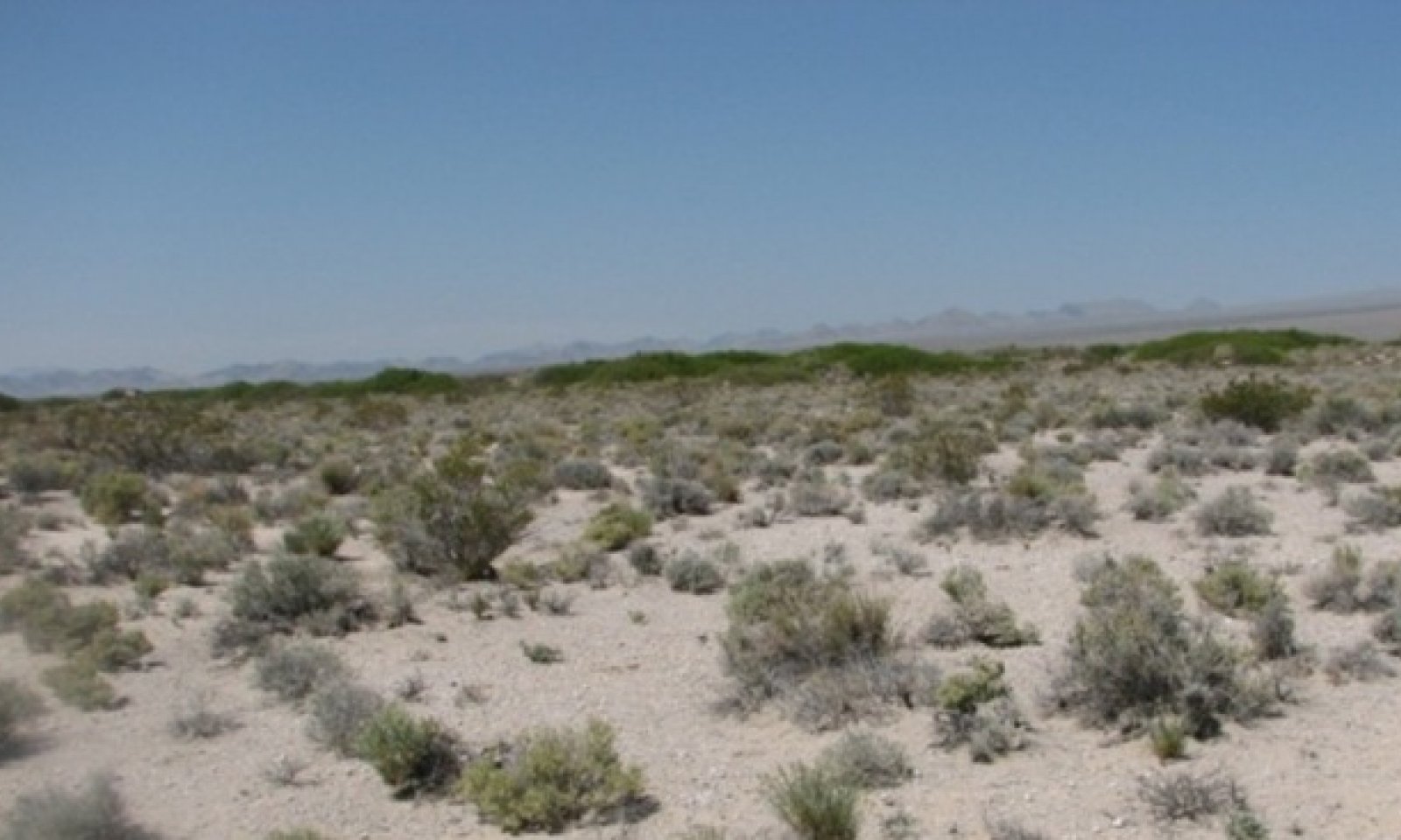
This state is representative of the natural range of variability under pristine conditions. Plant community phase changes are primarily driven by long-term drought, infrequent wildfire, insect attack, mistletoe infestation, and/or disease. Interactions between weather patterns and disturbance regimes determine plant community dynamics.
Maintenance of the reference plant community is largely dependent on the presence of subsurface water. Honey mesquite is well adapted to surviving in dry climates, but it is a facultative phreatophyte able to extract moisture from large volumes of soil through its well-developed root system. The taproot of honey mesquite commonly reaches to depths of 40ft., though taproots up to 190ft. have been observed. Watertable draw down or other frequently reoccurring surface disturbances, such as wildfire, reduce perennial vegetation and increase bare ground leaving the soil susceptible to wind and water erosion. Increased erosion could possibly result in the transition to an eroded state (State 3). However, this state has not been identified on the landscape at this time. If additional stable states are identified in the future this model will be revised to reflect such findings.
Submodel
Description
The invaded state is characterized by the presence of non-native species in the understory. A biotic threshold has been crossed with the introduction of non-native species that cannot easily be removed from the system and have the potential to significantly alter natural disturbance regimes from their historic range of variation. Ecological resilience is reduced by the presence of non-natives. These non-native annuals are highly flammable and promote wildfires where fires historically have been infrequent.
Submodel
Model keys
Briefcase
Add ecological sites and Major Land Resource Areas to your briefcase by clicking on the briefcase (![]() ) icon wherever it occurs. Drag and drop items to reorder. Cookies are used to store briefcase items between browsing sessions. Because of this, the number of items that can be added to your briefcase is limited, and briefcase items added on one device and browser cannot be accessed from another device or browser. Users who do not wish to place cookies on their devices should not use the briefcase tool. Briefcase cookies serve no other purpose than described here and are deleted whenever browsing history is cleared.
) icon wherever it occurs. Drag and drop items to reorder. Cookies are used to store briefcase items between browsing sessions. Because of this, the number of items that can be added to your briefcase is limited, and briefcase items added on one device and browser cannot be accessed from another device or browser. Users who do not wish to place cookies on their devices should not use the briefcase tool. Briefcase cookies serve no other purpose than described here and are deleted whenever browsing history is cleared.
Ecological sites
Major Land Resource Areas
The Ecosystem Dynamics Interpretive Tool is an information system framework developed by the USDA-ARS Jornada Experimental Range, USDA Natural Resources Conservation Service, and New Mexico State University.