Sandy Wash 6-10" p.z.

Scenario model
Current ecosystem state
Select a state
Management practices/drivers
Select a transition or restoration pathway
- Transition T1A More details
- Transition T1B More details
- Restoration pathway R2A More details
- Transition T2A More details
- Restoration pathway R3A More details
-
No transition or restoration pathway between the selected states has been described
Target ecosystem state
Select a state
Description
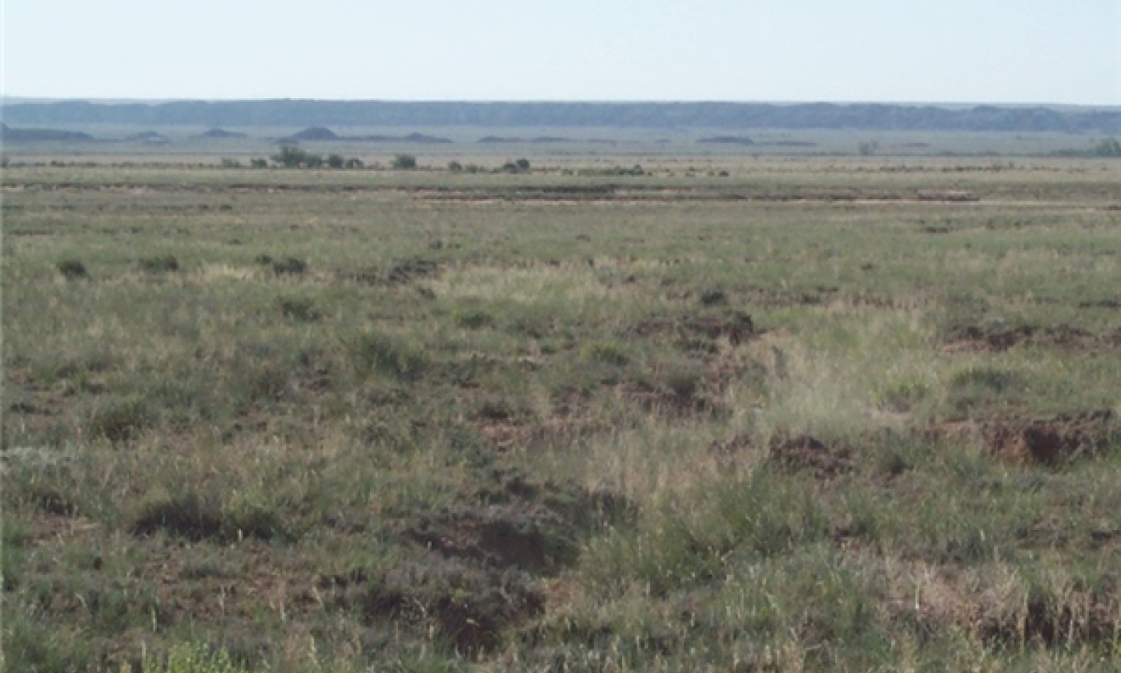
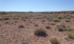
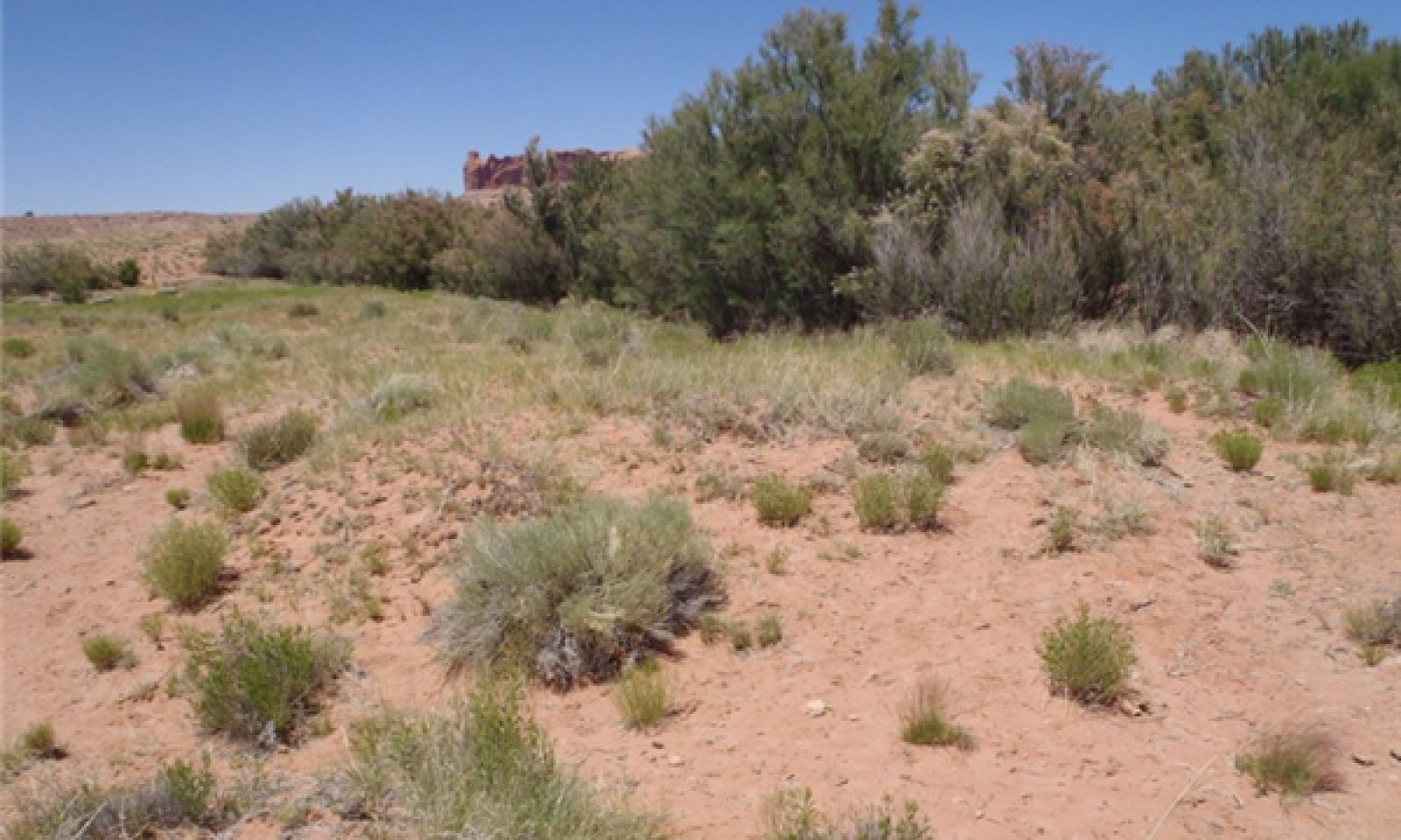
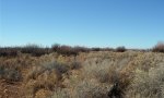
The reference state includes the Historic Climax Plant Community and is a grassland dominated by perennial grasses, such as western wheatgrass, Indian ricegrass, alkali sacaton, squirreltail and galleta. Occasional over bank flooding and additional run-in moisture from adjacent uplands lends to high grass production. Shrubs can occur across the site along drainageways and areas of discontinuous channels. The occasional cottonwood may be present where a seep or a higher water table due to shallow bedrock depth occurs.
Submodel
State 2
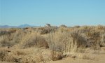
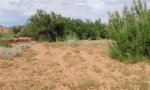
Native/ Invaded State
Description
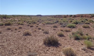
This plant communty is a shrubland with sparse perennial grasses and an increase in native and non-native annuals.
Submodel
State 3
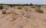
Eroded/ Invasive Overstory State

Description
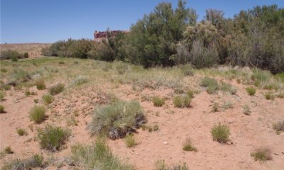
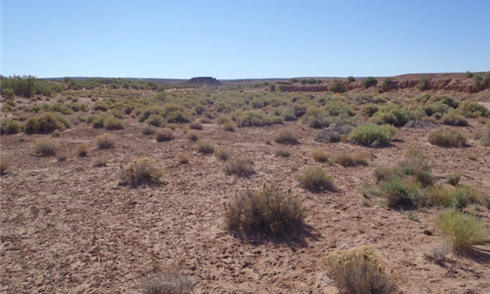
This plant community is dominated by tamarisk and/or Russian olive as the overstory with an understory of shrubs and annuals with sparse perennial grasses.
Submodel
Mechanism
Changes in the site's hydrology due to disturbances such as unmanaged grazing or altering the floodplain thru road building, farming, channel diversion. This reduces the benefit of overland flow that promotes productive grasslands. A loss of perennial grass cover allows for the increase of shrub species, especially deeper rooted shrubs.
Mechanism
Continuous unmanaged grazing on this site and adjacent uplands, excessive surface runoff and sediments, channelized flows accelerate channel scour promote gully erosion and creates abandoned floodplains. Deep channels form and promote the establishment of exotic tree species thru seed sources from disturbed areas.
Mechanism
Managed grazing, reseeding or seed source for perennial grasses, brush treatment for shrubs, possibly treatments to control channel and gully erosion and to reestablish the flooding regime.
Mechanism
Unmanaged grazing, increased surface runoff and sediments, channelized flows accelerate channel scour, gully erosion and create abandoned floodplains. Deep channels form and promote the establishment of exotic tree species thru seed sources and frequent flooding.
Mechanism
Managed grazing including adjacent uplands, reseeding or seed source for perennial grass recovery, brush/herbicide treatment for invasive trees and shrubs, mechanical treatments to control channel and gully erosion; reestablishment of the flooding regime.
Model keys
Briefcase
Add ecological sites and Major Land Resource Areas to your briefcase by clicking on the briefcase (![]() ) icon wherever it occurs. Drag and drop items to reorder. Cookies are used to store briefcase items between browsing sessions. Because of this, the number of items that can be added to your briefcase is limited, and briefcase items added on one device and browser cannot be accessed from another device or browser. Users who do not wish to place cookies on their devices should not use the briefcase tool. Briefcase cookies serve no other purpose than described here and are deleted whenever browsing history is cleared.
) icon wherever it occurs. Drag and drop items to reorder. Cookies are used to store briefcase items between browsing sessions. Because of this, the number of items that can be added to your briefcase is limited, and briefcase items added on one device and browser cannot be accessed from another device or browser. Users who do not wish to place cookies on their devices should not use the briefcase tool. Briefcase cookies serve no other purpose than described here and are deleted whenever browsing history is cleared.
Ecological sites
Major Land Resource Areas
The Ecosystem Dynamics Interpretive Tool is an information system framework developed by the USDA-ARS Jornada Experimental Range, USDA Natural Resources Conservation Service, and New Mexico State University.