Gyp Interdune (Wet), Desert Shrub


Scenario model
Current ecosystem state
Select a state
Management practices/drivers
Select a transition or restoration pathway
- Transition T1A More details
- Restoration pathway R2A More details
-
No transition or restoration pathway between the selected states has been described
Target ecosystem state
Select a state

Description
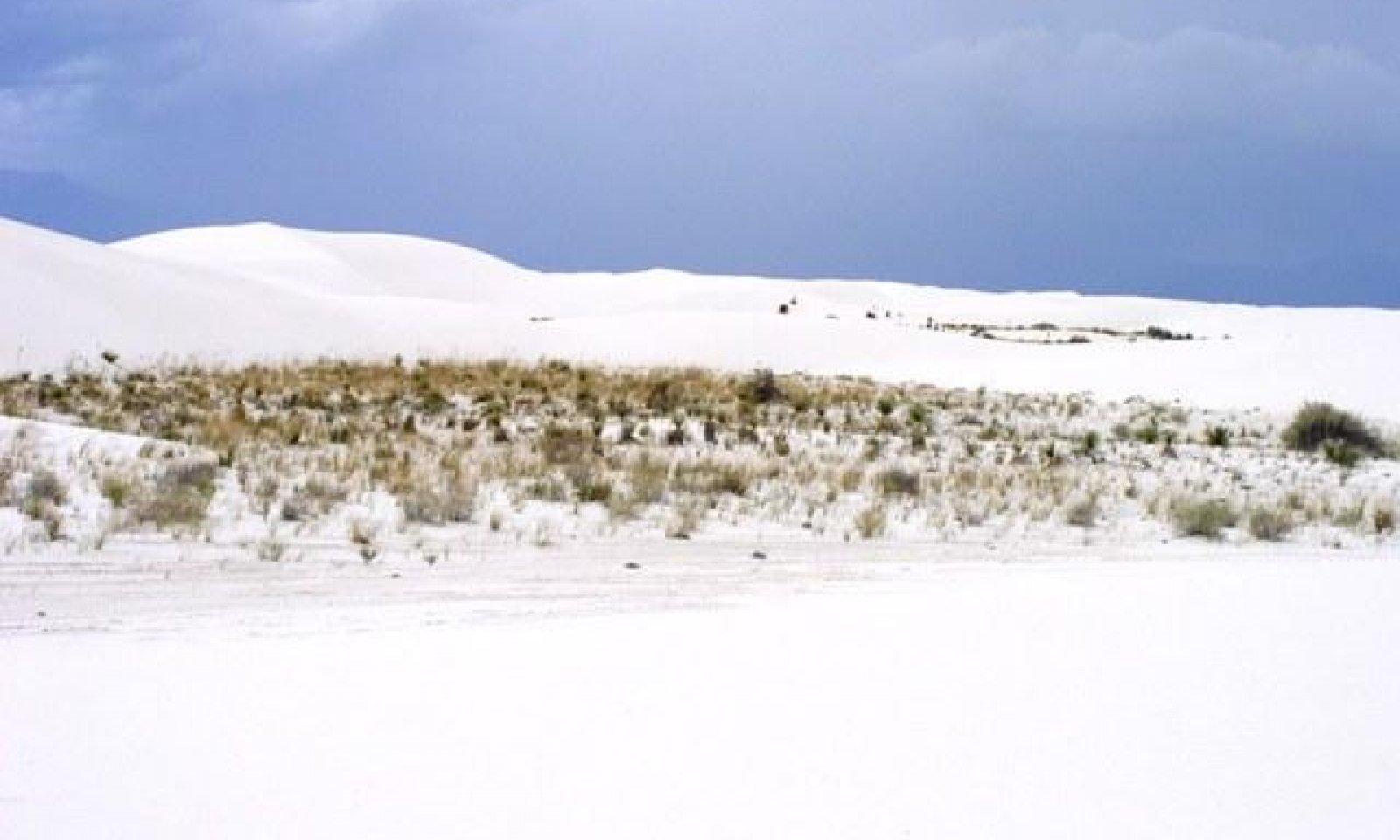
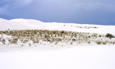
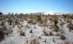
This state is mix of midgrasses and various shrubs. This state tends to occur where the interdunes are least susceptible to ponding and increased salts. Plant densities also tend to be higher on the narrower interdunes and in the protected areas near the leeward side of the associated barchanoid dunes.
Submodel
Description
The presence of saltcedar characterizes this state. Saltcedar densities are typically low, occurring as widely scattered individual plants.
Submodel

Description
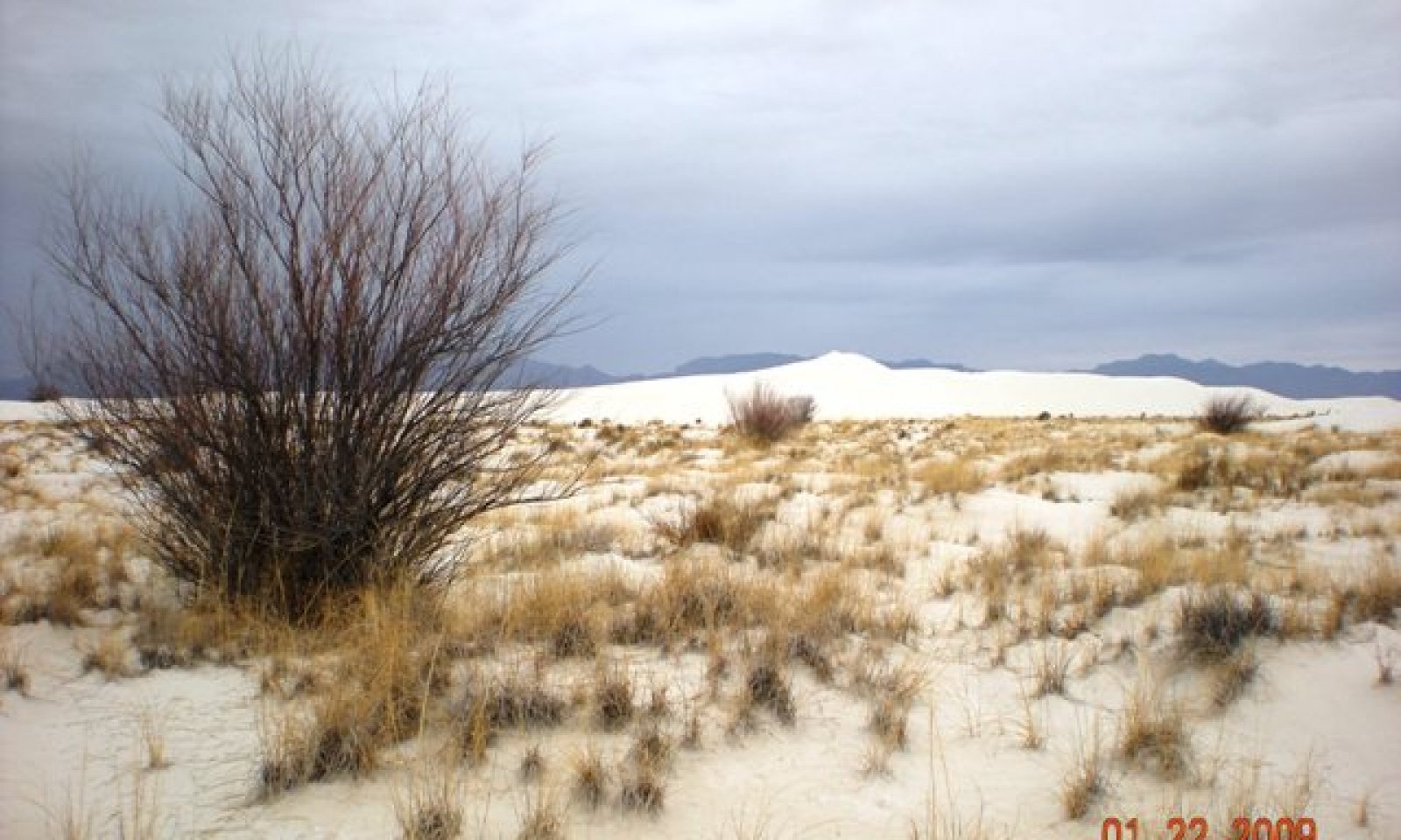
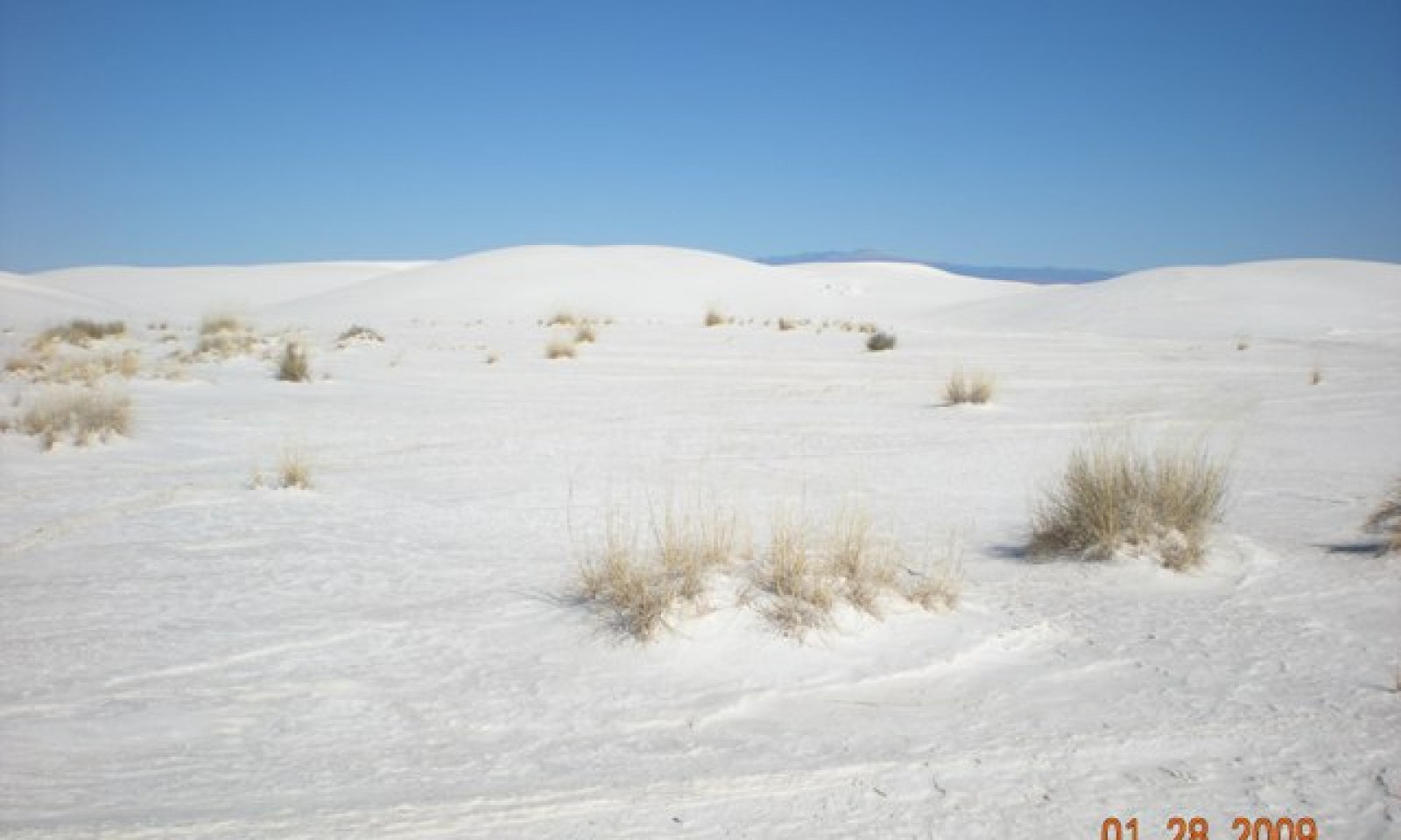
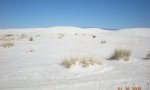
This state is characterized by the lack of, or very sparse vegetation. Species if present usually consist of widely scattered alkali sacaton, and/or Iodinebush. These areas are subject to ponding following high intensity rainfall events.
Submodel
Mechanism
Introduction of seed is the primary factor in the cause of this transition. Due to the presence of a shallow water table, soils on this site usually contain adequate soil moisture necessary for seed germination. Ironically this shallow depth to water may naturally inhibit domination by saltcedar. Saltcedar seem to dominate on soils where depth to the water table is between 5 and 18 feet from the surface. Locations adjacent to areas with an abundant seed source or underground streams may also increase the likelihood of this transition.
Mechanism
Brush management by chemical, mechanical or a combination can be used to remove saltcedar and return to the Grass/Shrub state. Manually removing and treating the cut stumps with“Garlon” is effective in the treatment of saltcedar. Additionally, spraying with “Arsenal” also has exhibited high kill rates. Regardless of the means of treatment, monitoring and follow-up will be necessary to insure missed plants and regrowth is addressed.
Model keys
Briefcase
Add ecological sites and Major Land Resource Areas to your briefcase by clicking on the briefcase (![]() ) icon wherever it occurs. Drag and drop items to reorder. Cookies are used to store briefcase items between browsing sessions. Because of this, the number of items that can be added to your briefcase is limited, and briefcase items added on one device and browser cannot be accessed from another device or browser. Users who do not wish to place cookies on their devices should not use the briefcase tool. Briefcase cookies serve no other purpose than described here and are deleted whenever browsing history is cleared.
) icon wherever it occurs. Drag and drop items to reorder. Cookies are used to store briefcase items between browsing sessions. Because of this, the number of items that can be added to your briefcase is limited, and briefcase items added on one device and browser cannot be accessed from another device or browser. Users who do not wish to place cookies on their devices should not use the briefcase tool. Briefcase cookies serve no other purpose than described here and are deleted whenever browsing history is cleared.
Ecological sites
Major Land Resource Areas
The Ecosystem Dynamics Interpretive Tool is an information system framework developed by the USDA-ARS Jornada Experimental Range, USDA Natural Resources Conservation Service, and New Mexico State University.