Salt Flats

Scenario model
Current ecosystem state
Select a state
Management practices/drivers
Select a transition or restoration pathway
- Transition T1A More details
- Transition T1B More details
- Restoration pathway R2A More details
- Transition T2A More details
- Restoration pathway R4A More details
-
No transition or restoration pathway between the selected states has been described
Target ecosystem state
Select a state
Description
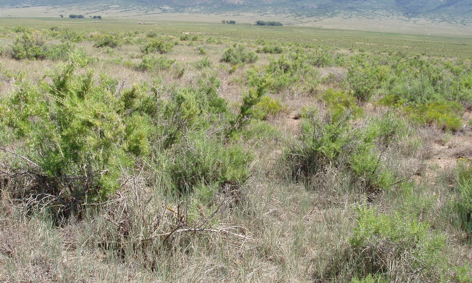
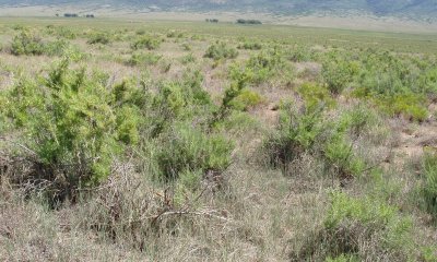
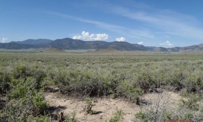
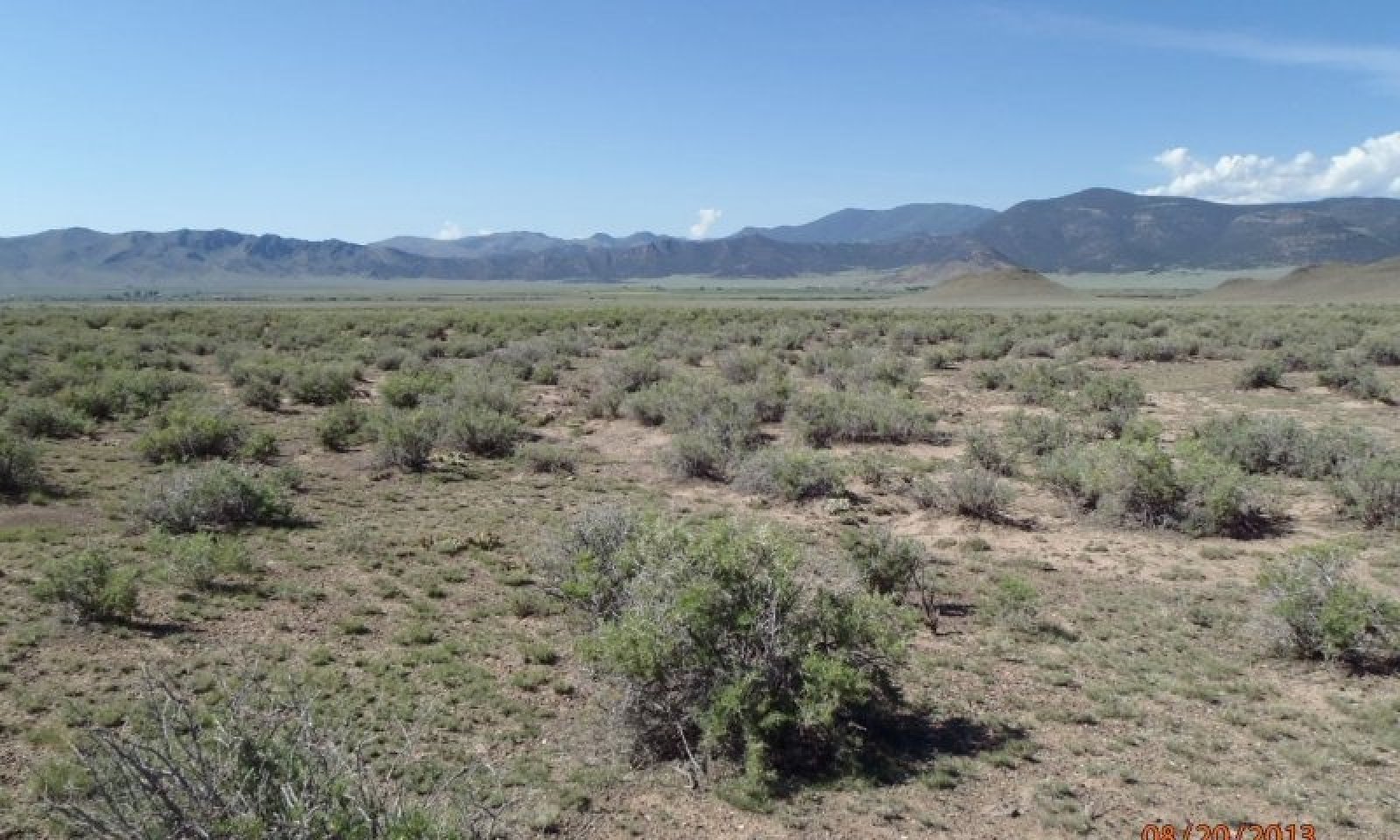
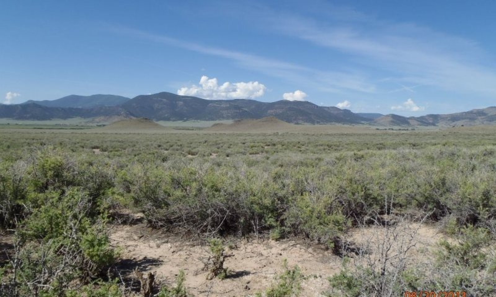
The reference state has an abundance of tall warm season grasses with a mix of shrubs and forbs. Community phases capture the ebb and flow of shrubs and grasses due to disturbance and time.
Submodel
Mechanism
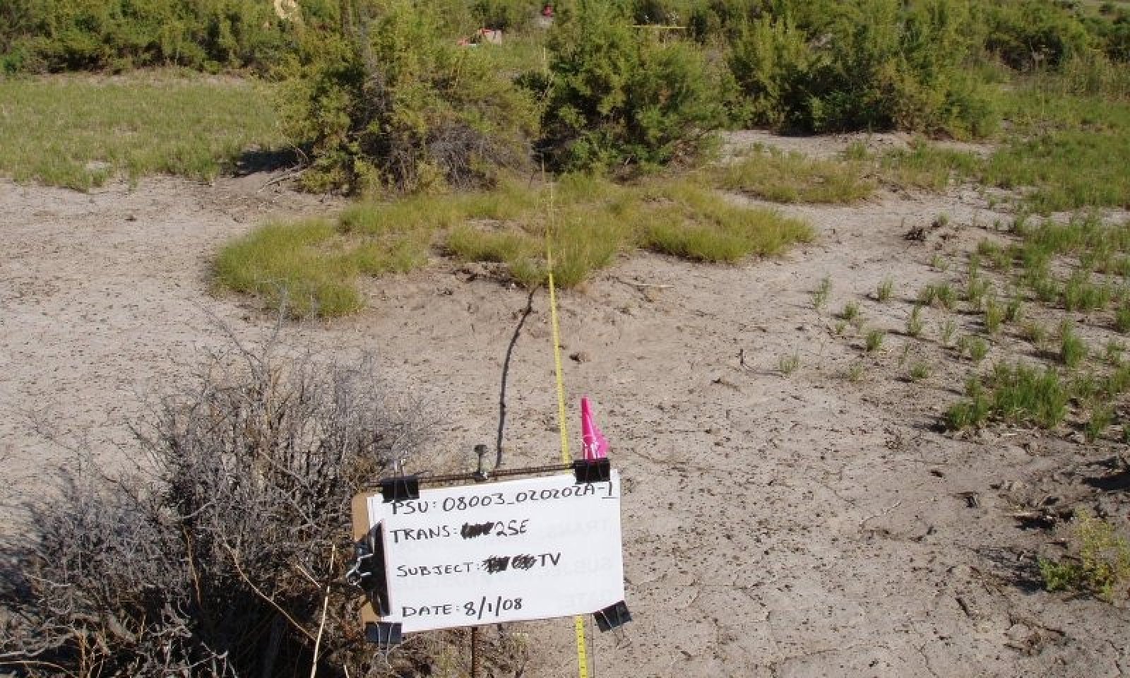
This threshold was crossed as long-term repetitive defoliation at high utilization of palatable species have led a loss of bunch grasses and greasewood has lost vigor. Inland saltgrass and rubber rabbitbrush have increased while greasewood has taken on a hedged appearance through heavy browsing. Bare ground has increased as well as slick spots (bare high sodium areas). Most, if not all, of the reference grasses have been eliminated.
Mechanism
Introduction of irrigation water on this site, produces a plant community dominated by rushes and sedges. Greasewood and alkali sacaton will disappear from lower areas and reside on higher ground.
Mechanism
If livestock grazing is re-instituted, very long-term, careful livestock management with adequate recovery opportunities for key species, especially alkali sacaton along with low to moderate utilization will slowly shift this plant community toward the Increased saltgrass and rubber rabbitbrush; community phase within the reference state. This is a slow process and may take upward of 80 years or more to achieve. Monitoring trend in species composition along with applying adaptive management is important.
Mechanism
This site started as the hedged state, then livestock is removed due to little forage availability. There is not enough fuel to carry a fire and the greasewood becomes decadent. There is no practical means of reversing the transition. Excessive soil erosion has increased the area of high clay and salty slick spots making plant colonization extremely difficult.
Mechanism
Non-irrigation and time for re-colonization of species. If livestock grazing is re-implemented then careful grazing management will eventually shift this community back to the reference state. The seed source is still present on higher ground and should begin to colonize the lower areas. Monitoring of key species is important for success.
Model keys
Briefcase
Add ecological sites and Major Land Resource Areas to your briefcase by clicking on the briefcase (![]() ) icon wherever it occurs. Drag and drop items to reorder. Cookies are used to store briefcase items between browsing sessions. Because of this, the number of items that can be added to your briefcase is limited, and briefcase items added on one device and browser cannot be accessed from another device or browser. Users who do not wish to place cookies on their devices should not use the briefcase tool. Briefcase cookies serve no other purpose than described here and are deleted whenever browsing history is cleared.
) icon wherever it occurs. Drag and drop items to reorder. Cookies are used to store briefcase items between browsing sessions. Because of this, the number of items that can be added to your briefcase is limited, and briefcase items added on one device and browser cannot be accessed from another device or browser. Users who do not wish to place cookies on their devices should not use the briefcase tool. Briefcase cookies serve no other purpose than described here and are deleted whenever browsing history is cleared.
Ecological sites
Major Land Resource Areas
The Ecosystem Dynamics Interpretive Tool is an information system framework developed by the USDA-ARS Jornada Experimental Range, USDA Natural Resources Conservation Service, and New Mexico State University.