Poorly Drained Fine Alluvial Terrace


Scenario model
Current ecosystem state
Select a state
Management practices/drivers
Select a transition or restoration pathway
- Transition T1A More details
- Transition T1B More details
- Restoration pathway R2A More details
- Transition T2A More details
- Restoration pathway R3A More details
-
No transition or restoration pathway between the selected states has been described
Target ecosystem state
Select a state
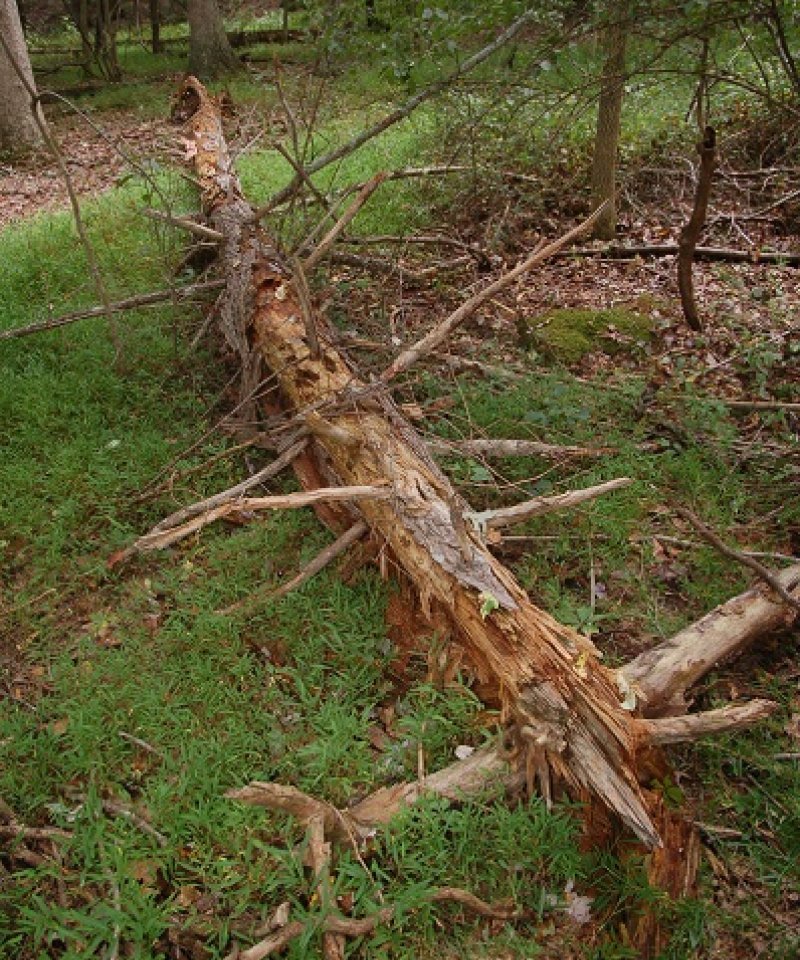
State 1
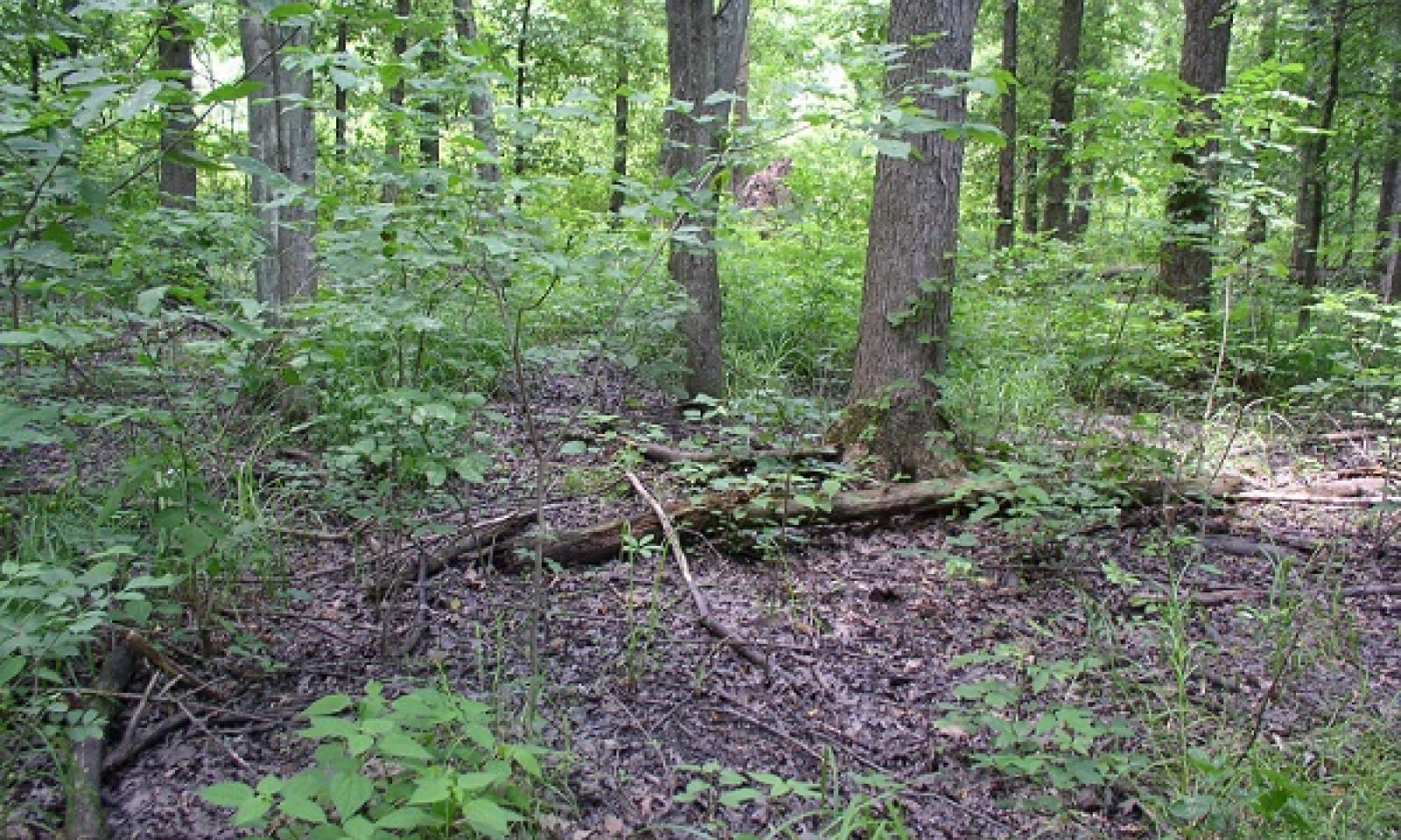
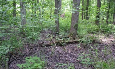
Oak Mixed Hardwood Wetland Forest

Description
The reference state is a combination of several vegetation communities within the Central Appalachian Floodplain system. The two phases most consistently encountered are a wet oak-hardwood palustrine forest community and a wet maple-ash community. They occur in seasonally inundated depression and some floodplains of smaller tributaries in flat-bottomed valleys and in old alluvial terraces throughout the northern and southern extents of the Ridge and Valley region. The actual historic reference forests may no longer exist due to a high degree of human disturbance since the time of European colonization.
Submodel
State 2
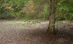
Invaded State


Description
This community is similar to the reference community 1.1 but includes the significant invasion of Nepalese browntop (Microstegium vimineum), greater than 60% cover, which if left uncontrolled can form a continuous groundcover thereby suppressing the germination and growth of other plant species. It can replace other ground vegetation in three years. Nepalese browntop grows well in shady, moist areas, and is most frequently found on floodplains and mesic forests where it takes advantage of sun flecks on the forest floor. It is often in association with other nonnatives including garlic mustard (Alliaria petiolata), Japanese honeysuckle (Lonicera japonica), multiflora rose (Rosa multiflora), and Japanese barberry (Berberis thunbergii). Roads and waterways appear to be the primary corridor for expansion of Nepalese browntop. It tends to favor more open sites with little or no leaf litter, a common characteristic of disturbed forests. Some insects eat Nepalese browntop, but deer do not, nor do livestock. It can provide cover for mice, but may reduce suitable cover and habitat quality for turtles.
Submodel
State 3
Grassland


Description
This state results from conversion of forests and woodlands to agricultural uses, primarily pasture. Tall fescue (Festuca arundinacea) is a common planted species. Rushes (Juncus spp.), sedges (Carex spp.) and other hydrophytic herbaceous plants are present in varying amounts depending on the effectiveness of drainage ditches. In some areas, parallel bedding is a feature of this state where the surface of the land has been elevated into a series of broad, low ridges separated by shallow, parallel channels in order to improve drainage. Some parallel bedding may have existed since early settlement as these features could have been constructed with a horse and moldboard plow (personal communication with Soil Scientist and landowners). If the drainage is no longer maintained, the ditches may quickly transition to the old field phase.
Submodel
Mechanism
Invasion of Nepalese browntop along disturbance pathways.
Mechanism
This transition is the result of clearing of forest for agriculture.
Mechanism
Restoration of a Nepalese browntop (Microstegium vimineum) invaded forest requires repeated annual efforts to prevent flowering and seed set until the seed bank is exhausted. This may take at least 3 years. Invaded road sides can serve as seed banks, so control of Nepalese browntop growth in these areas is important as well. It spreads vegetatively through stolons during the growing season. It flowers in late summer with seeds maturing until fall frosts and plant death which could occur as late as December. Therefore, hand-pulling or herbicide treatments must be done before the plant sets seed. Mowing in late summer before seed set is effective, but mowing too soon allows the plant to recover. Nepalese browntop seeds can be carried into an area by flooding, therefore areas that are inundated yearly must receive treatments indefinitely (Fryer 2011).
Relevant conservation practices
| Practice | External resources |
|---|---|
|
Wetland Wildlife Habitat Management |
|
|
Wetland Enhancement |
|
|
Invasive Plant Species Control |
Mechanism
This transition is the result of clearing of forest for agriculture.
Mechanism
Return to the reference state from this state may require a very long term series of costly management options and stages. Many species may need to be eventually planted or reseeded to restore the system. If using acorns, direct seeding must be done fairly heavily. Herbivory can be a problem as well as competition from faster growing species. At a minimum, allowing the original wetland hydrology to return would result in natural succession of a hydrophytic plant community. Depending on the existing seed bank and the proximity of a mature forest from which to recruit seeds, old fields may regain a mixed forest stand.
Model keys
Briefcase
Add ecological sites and Major Land Resource Areas to your briefcase by clicking on the briefcase (![]() ) icon wherever it occurs. Drag and drop items to reorder. Cookies are used to store briefcase items between browsing sessions. Because of this, the number of items that can be added to your briefcase is limited, and briefcase items added on one device and browser cannot be accessed from another device or browser. Users who do not wish to place cookies on their devices should not use the briefcase tool. Briefcase cookies serve no other purpose than described here and are deleted whenever browsing history is cleared.
) icon wherever it occurs. Drag and drop items to reorder. Cookies are used to store briefcase items between browsing sessions. Because of this, the number of items that can be added to your briefcase is limited, and briefcase items added on one device and browser cannot be accessed from another device or browser. Users who do not wish to place cookies on their devices should not use the briefcase tool. Briefcase cookies serve no other purpose than described here and are deleted whenever browsing history is cleared.
Ecological sites
Major Land Resource Areas
The Ecosystem Dynamics Interpretive Tool is an information system framework developed by the USDA-ARS Jornada Experimental Range, USDA Natural Resources Conservation Service, and New Mexico State University.